Nazis in Antarctica!

Its not every day you get to write that kind of headline. Nazis in Antarctica! Photos here.

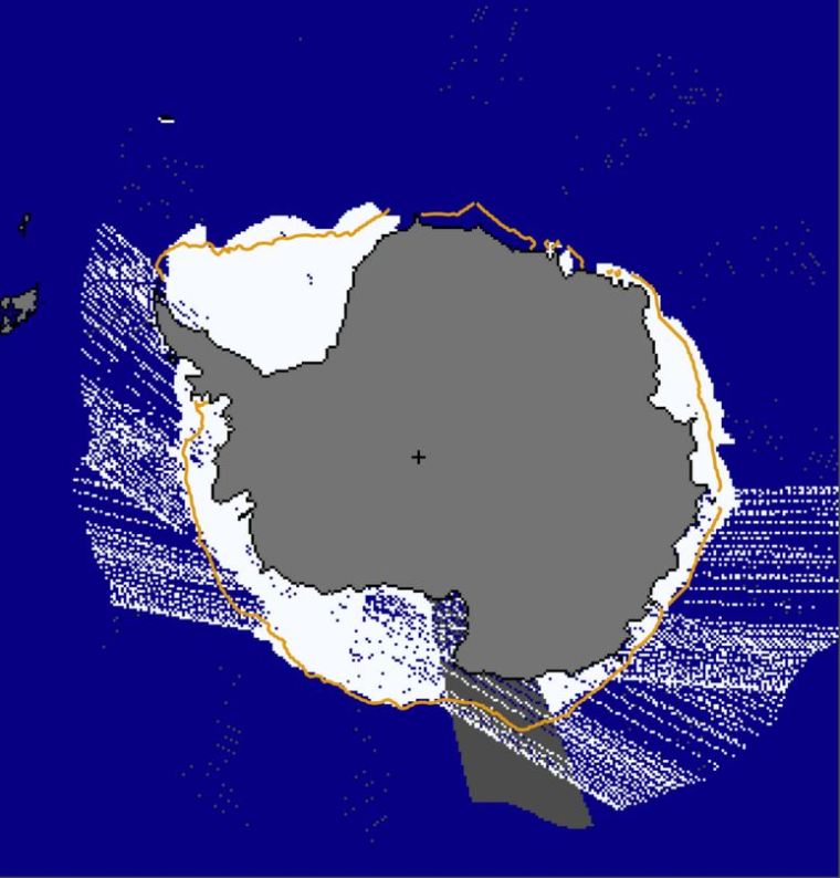
At the beginning of 1939, a Nazi expedition explored a hitherto uncharted area of the Antarctic. By foot and plane, the Nazis surveyed an area between latitudes 69°10’ S and 76°30’ S and longitudes 11°30 W and 20°00’ E, totaling 600.000 sq. km. They called it Neuschwabenland, or New Swabia.

At first glance, Neuschwabenland doesn’t warrant much enthusiasm. Most of it is covered in eternal snow and ice, with only a few places ice-free, mainly around a few hot springs. Yet annexation was an express purpose of the expedition, led by captain Alfred Ritscher, ordered by Hermann Göring himself. Before leaving, the expedition members received practical advice from Richard E. Byrd, an American admiral and experienced polar explorer.

The German airline Lufthansa lent one of its ships, the ‘Schwabenland’ for the expedition – hence the name that was given to the territory. The vessel was a so-called ‘catapult ship’, having before proved itself as a transporter and postal carrier in the South Atlantic. The ‘Schwabenland’ had two Dornier aircraft on board, named Boreas and Passat. A steam catapult was used in flinging the planes, each weighing 10 tonnes, off the ship.

The planes were used for reconnaissance flights over the impassable hinterland of the heretofore unexplored part of Antarctica, and were thus instrumental in the German Antarctic Expedition. Each plane could stay in the air for a maximum of nine hours and no inland airfields were constructed, so this provided the outer limit for the area to be explored.

In total, 350.000 sq. km were overflown and more than 11.000 photographs taken during 15 flights. These pictures were used in drawing up a map of the territory. During the flights and expeditions on foot, hundreds of Nazi German flags were dropped to symbolize Germany’s possession of the territory. Additionally, the expedition established a provisory base camp and reported that around the so-called Schirmacher See there existed some vegetation, due to the hot springs near the lake.

Sea Ice Extent (Global Antarctic and Arctic) – Day 101- 2016

UPDATE: NSIDC has this message on their website.

NSIDC

I think somebody is just messing with us.

Global_Sea_Ice_Extent_Zoomed_2016_Day_101_1981-2010

Antarctic_Sea_Ice_Extent_Zoomed_2016_Day_101_1981-2010

Arctic_Sea_Ice_Extent_Zoomed_2016_Day_101_1981-2010


South / North

Sea Ice Extent (Global Antarctic and Arctic) – Day 100 – 2016

Another day… more strange jumps in the data. Today it is the Antarctic. I have my doubts about a 2,500,000 sq km jump in one day.

The satellite image seems to have found large areas of imaginary something.

APr_10_2016

Antarctic_Sea_Ice_Extent_Zoomed_2016_Day_100_1981-2010


Arctic_Sea_Ice_Extent_Zoomed_2016_Day_100_1981-2010


South / North

Sea Ice Extent (Global Antarctic and Arctic) – Day 99 – 2016

Another day… still more strange jumps in the data. Today it is the Arctic.

Arctic_Sea_Ice_Extent_Zoomed_2016_Day_99_1981-2010

APr_9_2016


South / North

Sea Ice Extent (Global Antarctic and Arctic) – Day 98 – 2016

Another day… more strange jumps in the data. Today it is the Arctic. I have my doubts about a 1,000,000 sq km jump in one day.

Arctic_Sea_Ice_Extent_Zoomed_2016_Day_98_1981-2010

Antarctic_Sea_Ice


South / North

Sea Ice Extent (Global Antarctic and Arctic) – Day 97 – 2016

Day 96 saw the NSIDC publish two sets of data for Antarctica. One was a sudden huge jump and the later one was a big drop.

Here is day 97:

Global_Sea_Ice_Extent_Zoomed_2016_Day_97_1981-2010

Antarctic_Sea_Ice_Extent_Zoomed_2016_Day_97_1981-2010

Arctic_Sea_Ice_Extent_Zoomed_2016_Day_97_1981-2010


South / North

Sea Ice Extent (Global Antarctic and Arctic) – Day 96 – 2016

UPDATE 2: They updated the data, at 3:22 down to 5.786 (which is a 300,000 sq km drop from the day before. Not likely.

On day 96 the Antarctic sea ice extent took an unlikely jump from 6.082 million sq km to 7.959.

Sometimes they correct it the next day. Sometimes they don’t.

UPDATE: The “stuttering” in the daily Antarctic image. (Thanks AZ1971)

Antarctic_Sea_Ice


Global_Sea_Ice_Extent_Zoomed_2016_Day_96_1981-2010 Antarctic_Sea_Ice_Extent_Zoomed_2016_Day_96_1981-2010 Arctic_Sea_Ice_Extent_Zoomed_2016_Day_96_1981-2010


South / North

Sea Ice Extent (Global Antarctic and Arctic) – Day 95 – 2016

Change in the last 10 days Antarctic (blue is gain / red is melt):

2016 Antarctic Ice Loss or Gain Last 10 Days (Up To Day 95 )

Change in the last 10 days Arctic:

2016 Arctic Ice Loss or Gain Last 10 Days (Up To Day 95 )

Global

Global_Sea_Ice_Extent_Zoomed_2016_Day_95_1981-2010

Antarctic

Antarctic_Sea_Ice_Extent_Zoomed_2016_Day_95_1981-2010

Arctic

Arctic_Sea_Ice_Extent_Zoomed_2016_Day_95_1981-2010

South / North

Sea Ice Extent (Global Antarctic and Arctic) – Day 93 – 2016 (No Data Yet)

The data for day 93 has not been uploaded to the website. It is late.


South / North