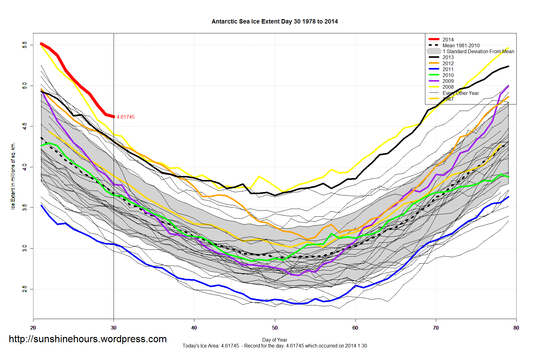
Antarctic Sea Ice Extent is even more on track to have the highest minimum in the modern satellite era.
Antarctic Sea Ice Extent as of Jan 30 2014 was 950,000 sq km above the 1981-2010 mean and 220,000 sq km above 2008.
950,000 sq km above normal is 26% above normal. Day 30 was the 13th daily record of the year.
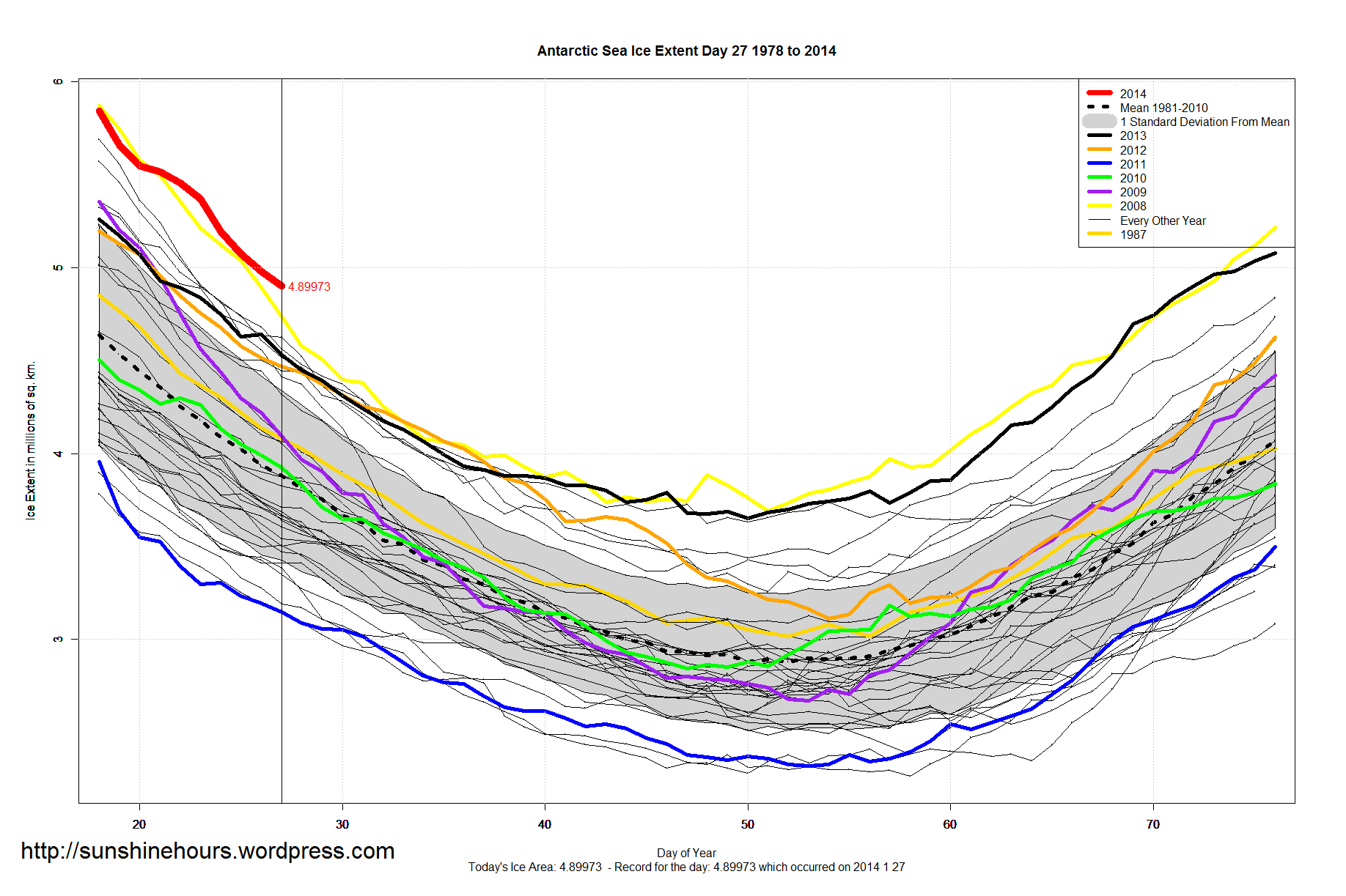
Click for bigger.

There is no such thing as “normal”, it is the average.
good stuff anyway.
However, there may be a big problem with the data:
Eisenman, I., Meier, W. N., and Norris, J. R.: A spurious jump in the satellite record: is Antarctic sea ice really expanding?, The Cryosphere Discuss., 8, 273-288, doi:10.5194/tcd-8-273-2014, 2014
http://www.the-cryosphere-discuss.net/8/273/2014/tcd-8-273-2014.html
More here:
http://tamino.wordpress.com/2014/01/15/southern-discomfort/
So the satellite photos have been tampered with only for Antarctica?
Ha ha ha. Desperation hail mary pass.
Comedy gold. Bet it works in the NH though? But not in 2013, of course.
Denialist.
Did you read the article?
PS: Sea ice extent isn’t determined by photographs.
But there are satellite photos the authors could use to prove they are right.
Anyway, thanks for the warming. I gave you credit.
https://sunshinehours.wordpress.com/2014/02/02/hail-mary-pass-attempt-by-warmists-to-claim-antarctica-sea-ice-is-not-increasing/
The major evidence in support of there idea is Figure 2 in their paper.
If this level of global warming continues we are call likely to freeze to death.
”Normal” is what you get on the day. The climate system is a chaotic one which has no normals.
Considering it’s summer in Antarctica this is significant, regardless of climate scientists and environmental tourists being trapped for weeks in sea ice as anecdotal evidence.